News Summary
A confirmed EF-0 tornado touched down in Atlantic County, New Jersey, with winds estimated at 65 to 75 mph. The tornado caused damage along Malaga Road and impacted several homes. Fortunately, no serious injuries were reported despite significant storm-related impacts, including flash flooding and road closures. Meteorologists issued severe thunderstorm warnings, prompting public vigilance. This tornado is among the first confirmed in South Jersey this spring.
Atlantic County, New Jersey – Tornado Confirmed by National Weather Service
A confirmed tornado touched down in Atlantic County, New Jersey, according to the National Weather Service (NWS). The EF-0 tornado struck near Collings Lake on Friday afternoon at 12:52 p.m., with maximum winds estimated between 65 to 75 mph. The tornado was on the ground for approximately one minute, traveling half a mile, and left a path of destruction that measured 25 yards in width.
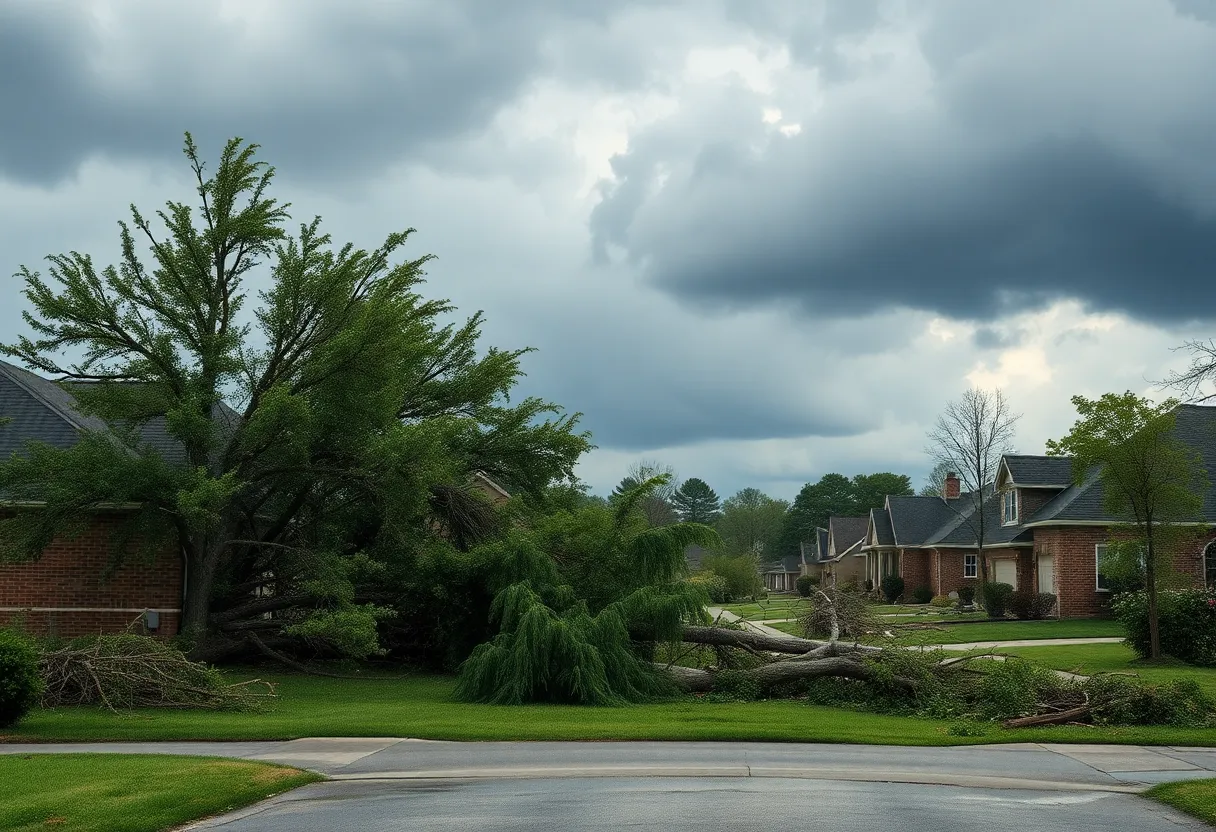
Damage was primarily reported along Malaga Road, where large branches were snapped, and metal roof sheeting was ripped off from an outbuilding. Additional damage occurred near the intersection of Cains Mill Road and Colton Lane, where a tree landed on the roof of a house. Fortunately, the homeowner was not inside at the time. On Belwyn Avenue, a house was nearly split in two due to a fallen tree. Residents described the sound of the tree crashing as comparable to an explosion.
Fortunately, no serious injuries or fatalities were reported as a result of the tornado or the severe storms that preceded it. However, numerous reports emerged of closed roads and downed trees across the region. In Philadelphia, a significant number of trees were also downed, with one crashing into a house.
Heavy rain accompanied the storms, leading to flash flooding and various road closures in Chester, Montgomery, and Camden Counties. Earlier in the week, rainfall amounts reached up to 3 inches, and similar totals were recorded during Friday’s storms. At Philadelphia International Airport, official measurements indicated that 1.5 inches of rain fell between 11 a.m. and 1 p.m. on Friday. Nearby Brandywine Regional Airport in Chester County recorded over 2 inches of rain from 11 a.m. to noon.
Meteorologists noted that heavy rain can develop rapidly in isolated areas during thunderstorms. A severe thunderstorm watch was issued for the region until 11:59 p.m. on Friday but was later canceled as the storms moved out.
The severe weather conditions also led to the cancellation of a fireworks display at the New Hope Celebrates Pride celebration due to high water levels in the Delaware River. Additionally, the storm delayed a scheduled game between the Phillies and the Pittsburgh Pirates in South Philadelphia.
The tornado marked one of the first confirmed tornadoes in South Jersey this spring. The report from the National Weather Service is classified as preliminary and is subject to change following further analysis.
As the situation continues to evolve, residents are urged to remain vigilant and stay informed of any further weather warnings as the threat of additional severe thunderstorms persists into Saturday morning and possibly into the afternoon.
Deeper Dive: News & Info About This Topic
HERE Resources
Tornado Touches Down in Collings Lakes, NJ
Additional Resources
- Country Herald
- Wikipedia: Tornado
- Philadelphia Inquirer
- Google Search: New Jersey tornado
- NJ.com
- Google Scholar: tornado impact New Jersey
- CBS News Philadelphia
- Encyclopedia Britannica: tornadoes
- Press of Atlantic City
- Google News: severe storms New Jersey


